The best biodiversity conservation research method is the one that answers a specific management decision, such as where to restore habitat, whether a target species is present, or whether a site needs stronger protection.
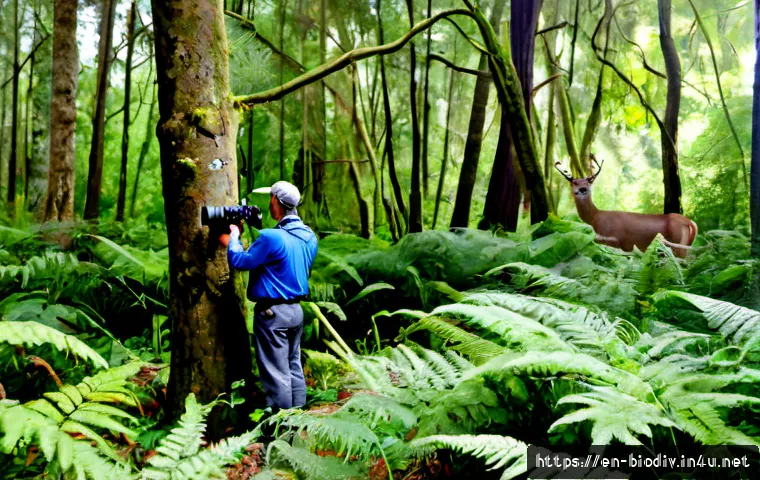
Field surveys, camera traps, acoustic monitoring, remote sensing, and environmental DNA can all be useful, but none can prove long-term conservation success on its own.
A practical study starts with a baseline, a clear comparison, and a realistic plan for repeating measurements. Teams choosing ecological monitoring software, field survey equipment, or environmental consulting should compare the full effort required to collect, manage, interpret, and act on the data.
The right level of investment depends on the species, site scale, decision urgency, and available in-house expertise. Results should be presented as evidence for a decision, not as an automatic claim that biodiversity has improved.
At a Glance
- Match the method to the decision: use simple observations for local questions, and add specialist tools when the question or site is more complex.
- Measure change, not just presence: a baseline and repeat monitoring are needed before claiming that restoration or protection is working.
- Compare total effort: equipment costs are only one part of the choice; staff time, data management, interpretation, and permits also matter.
| Monitoring approach | Best decision use | Main strength | Key limitation | Effort consideration |
|---|---|---|---|---|
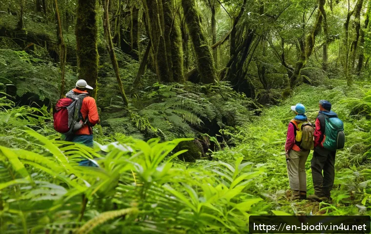
| Field surveys | Baseline assessments, habitat checks, direct species observations | Flexible and context-rich observations | Results can vary with observer skill, timing, and sampling design | Often requires trained staff time in the field |
| Camera traps | Wildlife presence, movement, and repeated site observation | Can monitor without constant on-site observers | Images still need review, storage, and careful placement | Equipment, setup, maintenance, and image processing all add work |
| Acoustic monitoring | Sound-producing species and repeated detection over time | Captures activity that may be difficult to observe directly | Interpretation may require specialist knowledge or software support | Planning, recordings, and analysis capacity should be assessed early |
| Remote sensing and mapping | Habitat extent, land-use change, and landscape planning | Useful for broad areas and repeatable spatial comparisons | May not answer species-level questions by itself | Data platforms and mapping expertise can be important |
| Environmental DNA | Targeted questions about possible species presence | Can complement conventional detection methods | Collection, laboratory handling, and interpretation need site-specific planning | Consider sampling design and specialist support, not only lab access |
What Effective Conservation Research Looks Like
The three-line answer: match the method to the management decision
Effective conservation research begins with a practical question. If a land manager needs to know where habitat conditions are weakest, a habitat assessment and mapping approach may be more useful than a broad species inventory. If a project needs to understand whether wildlife is using a corridor, camera traps, field observations, or acoustic sensors may be relevant depending on the target species.
The method is not the goal. The goal is a decision that can be explained and acted on. Before buying field survey equipment or subscribing to an ecological monitoring software platform, write down the decision the information must support.
From observation to action: what a useful study should deliver
A useful study should make clear what was measured, where it was measured, when observations occurred, and how results will influence management. For example, a restoration team may use early monitoring to identify whether planted areas, wet areas, edge habitat, or connected patches need different follow-up actions.
Good reporting also separates observations from conclusions. A record of species detections may support a decision to investigate a site further. It does not automatically establish population growth, habitat recovery, or long-term biodiversity gain.
Why monitoring alone does not prove conservation success
Monitoring provides evidence, but it has limits. A short monitoring period may capture seasonal activity rather than a lasting trend. A small sample may not represent the wider property or landscape. A change in detection may also reflect weather, timing, equipment placement, observer experience, or survey effort.
For this reason, conservation teams should avoid treating one positive monitoring result as final proof of success. Repeatable methods, a baseline, and a fair comparison make findings more useful. Where claims may affect funding, land-use decisions, sustainability reporting, or public commitments, independent ecological expertise may be worth considering.
Research Approaches That Inform Real Conservation Decisions
Species surveys and population trend monitoring
Species surveys are appropriate when the main question concerns the presence, distribution, activity, or repeated detection of a target group. They can support site management decisions, protection planning, and follow-up monitoring after a habitat intervention.
The strongest approach depends on the species and the site. Some projects need direct field observations. Others may benefit from cameras, sound recorders, or carefully planned environmental DNA sampling. The important point is to define what a detection means before surveys begin. A species record can be valuable, but it is not the same as evidence of a stable or increasing population.
Habitat restoration assessments
Habitat restoration research asks whether site conditions are moving toward the project’s intended ecological direction. Assessments may consider vegetation structure, water conditions, habitat features, invasive pressures, or signs of wildlife use. The right indicators will vary by restoration objective and location.
A practical restoration assessment compares conditions over time and, where feasible, against a relevant reference or comparison area. This helps prevent a common mistake: attributing every observed change to the restoration action without considering other influences. Documenting the starting condition is often as important as recording the later condition.
Landscape connectivity and wildlife corridor studies
Landscape-level work is useful when a project involves movement between habitat areas, road or development pressures, fragmented land, or planning for wildlife corridors. Mapping and remote sensing can help teams understand habitat patterns across a broader area than field visits alone can cover.
However, mapped connectivity is not automatically proof that animals use a route. Field verification, camera-based observations, or other targeted monitoring may be needed when a decision depends on actual wildlife movement. Environmental consultants can help align mapping outputs with ecological questions, land-use constraints, and a realistic monitoring plan.
Community-based monitoring and local stewardship
Community-based monitoring can expand coverage, support local stewardship, and build practical awareness of environmental change. It may be especially helpful for repeated observations, habitat condition notes, and projects that benefit from long-term local involvement.
Consistency matters. Clear survey instructions, simple data forms, training, and review procedures can improve usefulness. Community records should not be dismissed, but they should be interpreted with attention to uneven effort, differences in observer experience, and changes in participation over time.
Comparing Monitoring Methods, Effort, and Value
Field observations, camera traps, and acoustic sensors
Field observations are often the most direct place to start. They allow surveyors to record habitat context, disturbance, weather, and other details that automated equipment may miss. They also rely heavily on suitable timing and observer capability.
Camera traps can support repeated observation of wildlife activity with less continuous on-site presence. They are most useful when placement is connected to a clear question, such as use of a crossing point, trail, habitat edge, or restoration zone. A camera trap program still needs a plan for placement, maintenance, secure data storage, image review, and interpretation.
Acoustic sensors can be valuable where sound is a meaningful detection signal. They can create substantial recordings and may require ecological monitoring software or specialist analysis workflows. Before adopting acoustic monitoring, confirm who will review outputs, how detections will be checked, and whether the results will change management.
Remote sensing, mapping, and environmental DNA
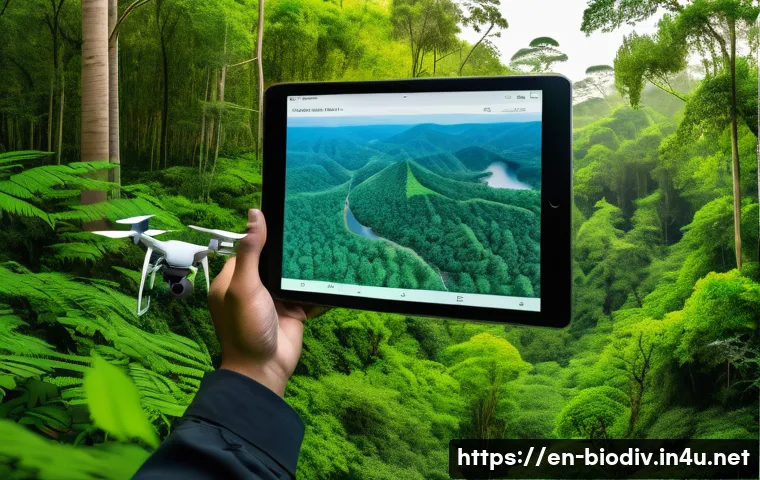
Remote sensing and mapping tools are useful for examining habitat extent, land cover, site boundaries, and changes across a large area. They can help prioritize field visits and make landscape planning easier to communicate. Their limitation is that spatial information may not reveal the full condition of habitat on the ground.
Environmental DNA can be a useful complement for a targeted detection question. It should not be treated as a universal replacement for field ecology. Sampling locations, timing, handling, laboratory processes, and result interpretation all affect how meaningful the findings are. Site-specific assessment is needed before relying on any method for a high-stakes decision.
Comparison table: data quality, time, expertise, and likely cost range
| Approach | Data quality depends most on | Time demand | Expertise need | Cost planning focus |
|---|---|---|---|---|
| Field surveys | Survey design, observer skill, timing, and repeat visits | Fieldwork and data entry | Moderate to high, depending on target and site | Staff or contractor time, travel, and reporting |
| Camera traps | Placement, detection context, and image review process | Setup, maintenance, and media review | Moderate; identification support may be needed | Hardware, power or storage needs, and processing workflow |
| Acoustic monitoring | Recorder placement, signal interpretation, and validation | Deployment plus recording analysis | Often moderate to high | Equipment, data storage, software, and analysis capacity |
| Remote sensing | Appropriate imagery, classification choices, and ground checks | Planning and analysis, with field verification where needed | Moderate to high | Data access, mapping platforms, and analytical support |
| Environmental DNA | Sampling design, handling, and interpretation | Field collection and laboratory turnaround planning | Specialist support may be needed | Sampling supplies, laboratory services, and expert review |
When software platforms or environmental consultants add value
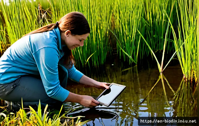
Ecological monitoring software can add value when a team has recurring field records, many locations, multiple observers, images or recordings to manage, or reporting needs that are difficult to handle in scattered files. The platform should fit the workflow, not create an extra layer of administration.
Environmental consulting may be worthwhile when the project involves a sensitive target species, a complex restoration design, a large or fragmented site, uncertain survey methods, or results that will support formal commitments. Specialist support can also help with study design before money is spent on unsuitable equipment.
Ask providers to explain what data they will collect, how they will analyze it, what assumptions apply, and what decision the final output can support. A polished dashboard or report is not enough if the study question remains unclear.
Planning a Reliable Study Without Common Mistakes
Define a measurable conservation question before collecting data
Start with a question that can be answered. “Is biodiversity improving?” is often too broad for a single project. A more useful question might focus on whether habitat features are changing, whether a target species is being detected in a defined area, or whether restoration zones differ from untreated zones.
Then decide what observation would lead to action. If no possible result would change management, the monitoring plan may need revision. Every data point should have a purpose.
Establish a baseline and realistic monitoring timeline
Baseline information provides a starting point for later comparisons. It may include habitat condition, current observations, land-use context, or existing pressures. A baseline does not need to be perfect, but it should be documented clearly enough that later teams understand what was measured.
Monitoring timelines should reflect the decision being made. Short-term checks can be useful for operational adjustments, while claims about durable biodiversity outcomes require more caution. The relevant species, habitat, season, and restoration objective all need local consideration.
Avoid biased sampling, weak comparisons, and unsupported conclusions
Sampling can become biased when sites are selected only because they are convenient, attractive, easy to access, or already known to contain wildlife. Bias can also arise when survey effort changes without being recorded. A reliable plan states how locations were selected and keeps methods as consistent as practical.
Weak comparisons occur when results from different seasons, different methods, or uneven effort are treated as directly equivalent. Where a comparison is necessary, record the differences and avoid overstating what the data show. A cautious conclusion is more credible than an impressive-sounding claim that cannot be supported.
Build data management, permits, and ethical safeguards into the plan
Data management should be considered before fieldwork begins. Decide where observations, photographs, recordings, maps, and notes will be stored; who can access them; and how records will be backed up. Sensitive location data may need special handling, particularly when sharing could create risks for wildlife or sites.
Teams should also check local permits, access rules, landowner permissions, and ethical safeguards before beginning surveys. Requirements vary by location, activity, and target species. When uncertainty exists, confirm obligations with an appropriate local authority or qualified ecological professional.
Choosing an Approach for Different Conservation Settings
Small nonprofits and community groups with limited budgets
Small organizations can often begin with a focused question, repeatable field observations, simple habitat records, and a manageable data sheet. The priority is consistency, not collecting every possible type of data. A modest plan that is repeated well can be more useful than advanced equipment with no time allocated for analysis.
Consider outside support for study design rather than assuming the entire project must be outsourced. A short planning review may help a group avoid buying tools that do not match its target, capacity, or reporting needs.
Landowners planning habitat restoration
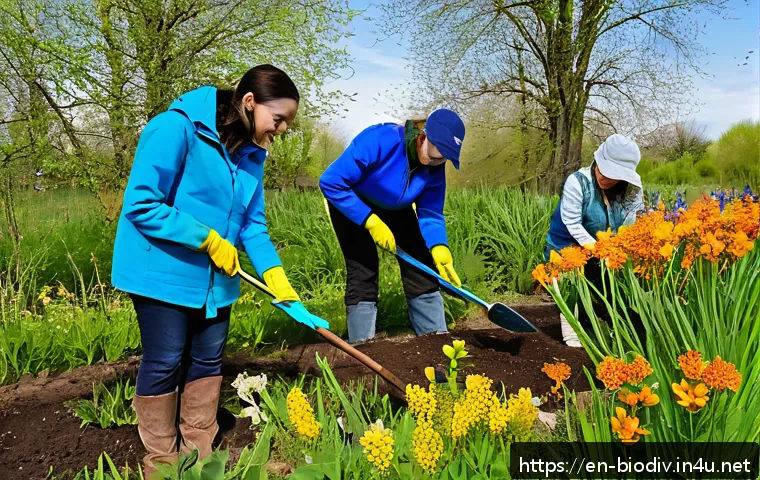
Landowners can connect monitoring directly to management actions. Start by recording current conditions, identifying the restoration objective, and choosing indicators that can be checked after work begins. Habitat mapping, field notes, photographs taken through a consistent process, and targeted wildlife observations may all have a role.
For complex sites, habitat-restoration services or environmental consultants may help identify suitable indicators and avoid monitoring only the easiest visible changes. The useful question is not simply whether the property looks different, but whether the changes are relevant to the stated conservation objective.
Organizations reporting sustainability or nature-related outcomes
Organizations reporting nature-related outcomes should be especially careful about evidence quality. Public statements should match the scope of the data. A monitoring result from one location or one period may not represent broader operations or long-term performance.
Use clear documentation, maintain an audit trail for data decisions, and describe uncertainty honestly. External ecological support can be appropriate when results will inform corporate sustainability reporting, stakeholder communications, or material land-use decisions.
Projects that may need specialist ecological expertise
Specialist expertise may be useful when a project involves difficult identification, complex habitat systems, large-scale spatial planning, sensitive ecological questions, or results that could influence formal decisions. It can also be valuable where a team needs independent review of a proposed monitoring design.
When comparing providers, look beyond the equipment list. Ask whether the provider will help define the management question, explain methodological limits, document assumptions, and provide findings that can be used responsibly.
Selection Criteria and Comparison Summary
Choose a monitoring approach by checking a few decisions before committing funds or staff time:
- Target: Are you assessing habitat condition, a target species, wildlife movement, or landscape change?
- Site scale: Does the question concern a small restoration area, a whole property, or a wider landscape?
- Decision urgency: Do you need an operational check now, or evidence that can support longer-term planning?
- Capacity: Who will deploy equipment, conduct surveys, manage data, interpret results, and act on findings?
- Evidence standard: Will the result guide internal learning, a funding decision, a public claim, or a formal planning process?
- Total cost: Have you included training, maintenance, software, analysis, reporting, permits, and repeat monitoring?
Before purchasing monitoring equipment or hiring an environmental consulting provider, ask for a clear description of the study question, expected deliverables, data ownership, analytical method, assumptions, and limitations. For technical tools or service packages, review the official specifications and detailed conditions on the relevant provider page before deciding.
Closing Thoughts
Biodiversity conservation research is most valuable when it helps people make better decisions on the ground. A clear baseline, a suitable method, and repeatable monitoring usually matter more than choosing the most advanced tool. Technology can improve coverage and efficiency, but it does not remove the need for sound study design. Keep claims proportionate to the evidence, especially when outcomes may be long-term or site-specific.
Useful Things to Know
1. Presence data and evidence of long-term recovery are different types of information.
2. A simple field protocol can be more useful than a complex system that staff cannot maintain.
3. Remote sensing can guide where to investigate, while field checks provide important local context.
4. Data storage, naming conventions, and access rules should be planned before the first survey.
5. Independent review can be useful when findings may support public or high-impact decisions.
Important Considerations
This is a general decision guide, not a site-specific survey protocol. The suitability, accuracy, and total cost of any monitoring method depend on the target, location, season, study design, available expertise, and intended use of the findings. A reported change may reflect short-term monitoring conditions rather than a lasting biodiversity outcome. Confirm local permissions, permit requirements, ethical safeguards, and technical assumptions before acting on results.
Frequently Asked Questions
Q1. What are the most useful biodiversity conservation research methods for a small restoration project?
A1. Start with the decision you need to make. For many small projects, a baseline habitat assessment, repeatable field observations, and a small set of relevant indicators can be a practical foundation. Camera traps, acoustic sensors, mapping, or environmental DNA may be useful when they answer a defined question that simple observations cannot answer reliably. Avoid adding tools unless your team has a plan to manage and interpret the data.
Q2. When is it worth paying for ecological monitoring equipment or an environmental consultant?
A2. It may be worth investing when the site is complex, the target is difficult to monitor, the project covers a large area, or the findings will influence significant restoration, land-use, funding, or sustainability decisions. Equipment can be useful when it reduces a real monitoring gap and fits staff capacity. A consultant may add value by designing the study, reviewing limitations, interpreting results, or helping avoid costly mistakes before a monitoring program begins.
Q3. Can camera traps, acoustic sensors, or environmental DNA replace field surveys?
A3. Not in every situation. These tools can complement field surveys and may be well suited to specific detection questions, but they do not automatically provide the habitat context or ecological interpretation gained through site visits. Their results depend on appropriate placement, sampling design, timing, data review, and expert interpretation. The best approach is often a combination chosen for the management question rather than a complete replacement of field-based work.